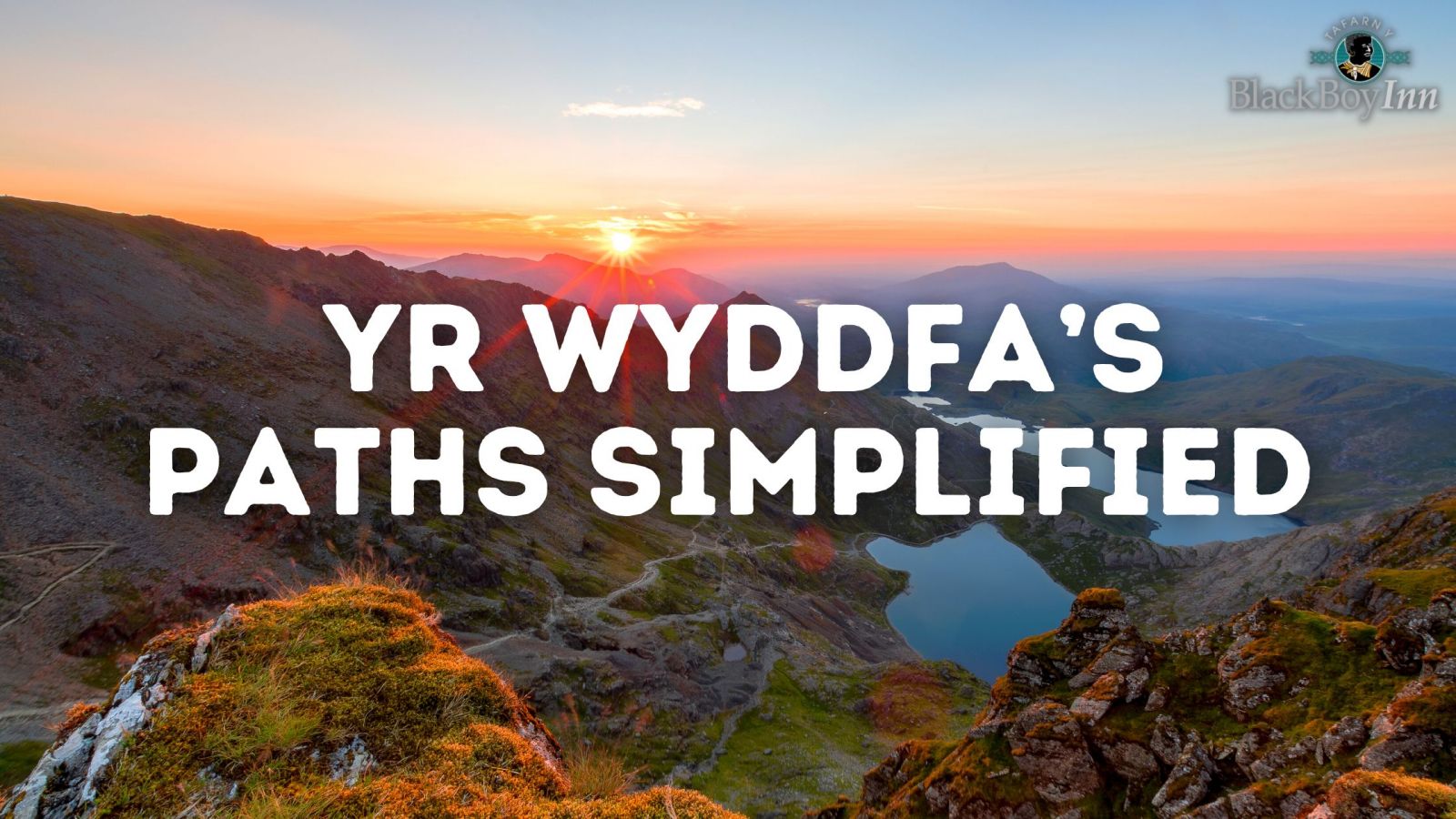
Yr Wyddfa (formally known by it’s English name, Snowdon) is the tallest mountain in Wales at 1,085 meters, it’s also taller than any in England which sees folks from all over the British Isles or further afield making the journey to conquer this incredible mountain. In this blog post, we will be simplifying the many routes up this fabled mountain so that you can make the best decision for you.
Llanberis Path
This is the most popular path to the summit, and considered the easiest way up – however, its 9-mile challenging hike is by no means a cakewalk. Expect strenuous effort to be made along the way. The route begins at the village of Llanberis (hence the name) and has a gradual ascent to the summit. This means you can begin the journey right in town.
Travelling from Caernarfon to Llanberis is no problem at all.
The PYG Track
We mention this because we believe this is a good first-time climb for folks. Not only is it among the most popular routes but it also affords you some fantastic scenic panoramas on your way up the mountain, including premiere views of Snowdon’s collection of lakes.
Miner’s Path
This track sees you walking alongside a scenic lake before a sharp ascent. This track is so named as it would have been used by the miners of its day to access the mines on Yr Wyddfa. While the beginning of the track is easygoing, expect to make up for it with a strenuous hike up the side of the elevation.
Snowdon Mountain Ranger
This is believed to be the earliest of the six main routes up the mountain. You start this at the shores of Llyn Cwellyn, giving the path its Welsh name of Llwybr Cwellyn – Cwellyn Path. It climbs gradually up the slopes of neighbouring Moel Cynghorion and over to Bwlch Cwm Brwynog before ascending steeply above Clogwyn Du’r Arddu and merging with the Llanberis Path to the summit.
Rhyd Ddu
Like the mountain range above, this ascends the western slopes of the Yr Wyddfa massif. There is striking mountain scenery to be enjoyed – looking over to Moel Hebog and the hills of Nantlle is something to appreciate.
The first mile climbs gradually along the old track that served the Bwlch Cwm llan slate quarry before ascending steeply over rocky terrain to Llechog ridge. This path follows the ridge towards Bwlch Main before finally climbing up the summit.
This path leads along a narrow and rocky path with steep slopes below. Extreme care must be taken on these parts. Only experienced walkers with specialised equipment should venture past this point during icy or winter conditions.
Crib Goch
In English, this translates to ‘Red Ridge’. This is not just a ridge walk, but also a grade 1 scramble – this means you shouldn’t underestimate it. This is what’s called a knife-edge ridge with a 1000-foot drop on either side. This is a challenge. This is unsuitable for people who just want to walk up Snowdon and is another level of challenge. This should not be attempted in adverse weather conditions.


